Tracking and GPS devices.
Back in 1984, I first started hiking and taking part in the The Duke of Edinburgh’s Award Scheme* in Manchester, at that time we could not of imagined what technology was going to be around, let alone the growing need to never be ‘off the grid’.
In 2014, I was able to Join the local Dofe provision in North Devon with the local scouts and start to build up the candidates, regular expeditions and make sure that the necessary risk assessments and precautions were in place. Within four years we had ver 50 young people taking part in the award scheme and taking part in a variety of expeditions across the UK.
The hardest expedition to pull together was the latest one to Southern Ireland. We took 21 people of various ages and capabilities. The two teams are brilliant teams and captured the true sprit of what the Gold Expedition was about and had a great deal of fun and achieved without too many issues. Great fun all round.

Risk Assessments
One of the most over engineered risks, is losing sight of the groups whilst on their expedition. You could call it called “getting lost”?
Before I continue, imagine the irony in this risk assessment. When I completed my silver Expedition in the 1980’s our supervisor waved us off in the morning on top of the new Pennie Way and met us three days later some 80 miles away. Trust me when I write, we were not the best at following a route card or reading a paper ordinance survey map.
Over a beer I could exchange with you some of my stories on my youthful adventures.
Back to the theme of this blog:
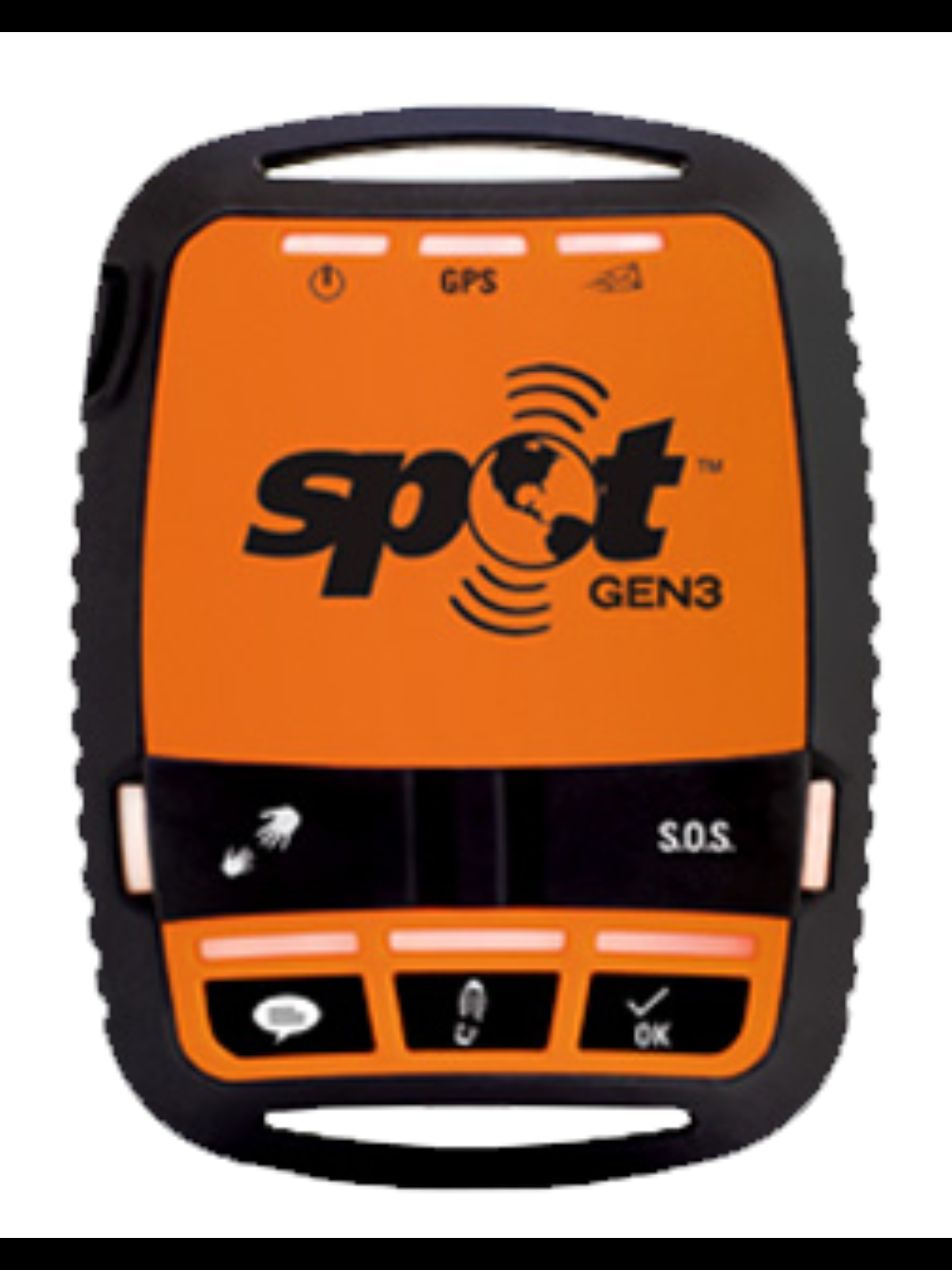
Currently we have the use of three Spot Tracking devices that have successfully worked in the places below.
The have worked without any hiccups and kept signal, with rare blips when the teams are within Forrest’s or deep valleys.
- Exmoor
- Dartmoor
- Shropshire
- Southern Ireland
- Hadrians Wall
- Bodmin
They provide us with a spot on a map every quarter an hour which accuracy.
There is a skill in understanding the “spots” on the map and using them, when questioning the teams. The teams can no longer take short cuts, sit and make breakfast for two hours or simple get lost on a moor.
I would also highlight that when using a GPS trackers for Dofe, that you need to remind your supervisors that the trackers are there for safety and to ease the supervisors stresses. It is highly likely the groups will get displaced. This is all part of the progressive learning the award achieves.
Using them
We rely on three people per expedition. Two supervisors on the location; within one hours distance from the teams. One home contact; that has access to the routes, contact details and aware of the teams capabilities.
The trackers do work when phone signal fails, the art is to find a cafe with WiFi and message your home contact or simple log in the software platforms on your phone.
The routes that the trackers create, help the teams create the story of where, when and how far they have traveled when they make their presentations some months later.
Please, click, read and make your own decisions
Cost
This is a simple answer expensive.
There are several platforms and I have used two. Mapxy and Spot. I am also looking at a third platform that offers us a little bit more flexibility and lets you hire kit for a week or month at a time. This year, 2019 we are looking at carrying out both practices walks and assessed ones in the same weekends. This is to help me find time to complete my own ‘epic expedition‘.
They are not cheap to run and manage but the amount of time driving up and down routes they save whilst supervisions is amazing. The supervisor teams can make informed decision of where to meet the teams, they can predict when the teams are flagging (mainly in ten tors training).
Seek funding.
I have asked several times for donations from a local group of people in an assisted home in Ilfracombe at the Candar site. This donation cover 2/3rd of the costs the other we add to the charge of the expeditions.
My advice as a timed served user of this technology is go for it, make your own decisions and develop both your risk assessments, experience on a moor and definitely watch your supervisors stress levels drop.
*Duke of Edinburg Award Scheme (Dofe)https://www.dofe.org/

A picture of me ‘spoon feeding a group of Dofe students on an expedition.
Thank you for reading this blog, in 2019 I am attempting and ‘epic expedition‘ to prove to myself that blind people can achieve great heights and over come some barriers. Raise awareness of the eye condition I have and raise money to support the RNIB. Please take some time to read my other blogs, support my journey and follow my website and share with your friends and families.
Thank you
Roy Imeson.
You must be logged in to post a comment.