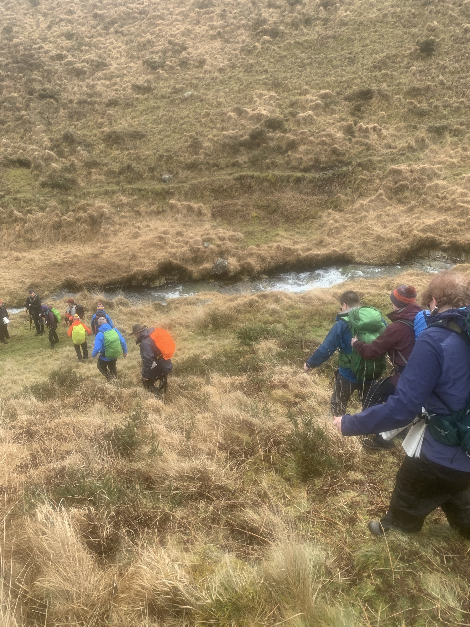
I have a big passion for the outdoors. Walking long distances and sleeping in a tent, or YHA (England & Wales).

I have learnt many different skills linked towards navigating along the UK National Pathways. In todays world, it is very easy to pick up your phone, click into an app and simple follow a red arrow along a map.
I am hoping , aiming, or simple pushing forward for a solution!
I wish, blind and partially sighted community to go outdoors, safely, go armed with a paper map, a compass and navigate without too many needs for helping pair of eyes.
There are digital solutions, some brilliant ones, but they should fall into part of the tools and not the main tool.
We should be able to enjoy the same experience as sighted people.

The idea is for a larger compass. That can still be placed in a map case and would aid you to get a bearing.
Ordinance Survey maps, technically enable the user to produce “Large Print Maps” were it fails is the compass is still tiny.
I have recently undergone two assessments for two navigation qualifications which at the time I felt as equal as others. I used standard maps and compass, I used many different skills, especially the use of light and magnification lenses.
I am currently putting together a training day for people living a life with protected characteristics to learn some new skills and enhance existing skills.
Part of this training will also be aimed towards assisting people with protected characteristics. If you are keen to learn more, please contact me.
You must be logged in to post a comment.